Journal Boards
Editor-in-Chief
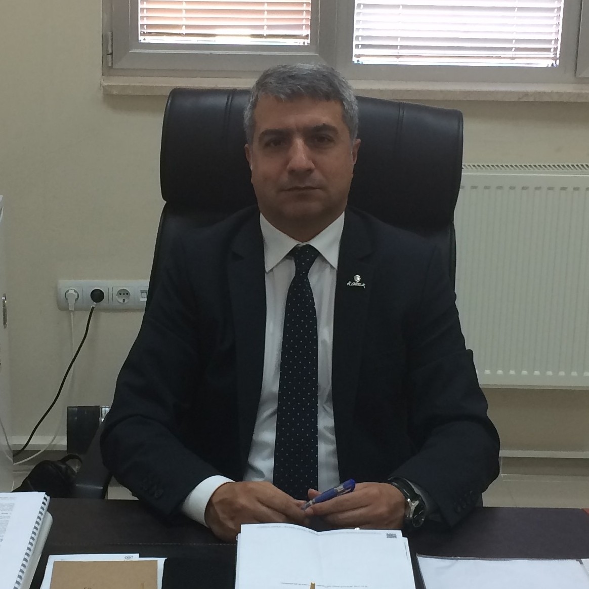
Prof. Dr.
Halil AKINCI
ARTVİN ÇORUH ÜNİVERSİTESİ, MÜHENDİSLİK FAKÜLTESİ, HARİTA MÜHENDİSLİĞİ BÖLÜMÜ


 Web
Web


 Web
Web
Engineering, Geomatic Engineering, Geospatial Information Systems and Geospatial Data Modelling, Cartography and Digital Mapping, Geographical Information Systems (GIS) in Planning
Associate Editors

Programming Languages, Geomatic Engineering, Photogrametry, Geographic Information Systems, Remote Sensing , Geodesy

Photogrammetry and Remote Sensing
Managing Editor

Prof. Dr.
Ayşe YAVUZ ÖZALP
ARTVİN ÇORUH ÜNİVERSİTESİ, MÜHENDİSLİK FAKÜLTESİ, HARİTA MÜHENDİSLİĞİ BÖLÜMÜ


Geomatic Engineering, Land Management, Geographical Information Systems (GIS) in Planning
Publishing Board
Photogrametry, Photogrammetry and Remote Sensing
Geomatic Engineering, Cartography and Digital Mapping, Geographical Information Systems (GIS) in Planning, Geographic Information Systems, Geodesy

Photogrammetry and Remote Sensing, Remote Sensing
Geospatial Information Systems and Geospatial Data Modelling, Photogrammetry and Remote Sensing, Satellite-Based Positioning

Photogrametry, Photogrammetry and Remote Sensing
Engineering, Photogrammetry and Remote Sensing, Remote Sensing
Editorial Board

Prof. Dr.
Ali Melih BAŞARANER
YILDIZ TEKNİK ÜNİVERSİTESİ, İNŞAAT FAKÜLTESİ, HARİTA MÜHENDİSLİĞİ BÖLÜMÜ


 Web
Web


 Web
Web
Spatial Data and Computing Applications, Cartography and Digital Mapping, Geographical Information Systems (GIS) in Planning

Spatial Data and Computing Applications, Remote Sensing

Image Processing, Machine Learning, Deep Learning, Machine Vision , Engineering, Photogrametry, Photogrammetry and Remote Sensing, Remote Sensing

Geospatial Information Systems and Geospatial Data Modelling, Photogrammetry and Remote Sensing, Geographic Information Systems, Remote Sensing

Photogrametry, Photogrammetry and Remote Sensing

Photogrametry, Photogrammetry and Remote Sensing, Geographical Information Systems (GIS) in Planning
Image Processing, Engineering, Photogrammetry and Remote Sensing

Geomatic Engineering, Cartography and Digital Mapping, Geographical Information Systems (GIS) in Planning, Geographic Information Systems, Geodesy

Information and Computing Sciences, Decision Support and Group Support Systems, Image Processing, Artificial Intelligence (Other), Engineering, Geospatial Information Systems and Geospatial Data Modelling
Geospatial Information Systems and Geospatial Data Modelling, Photogrammetry and Remote Sensing, Cartography and Digital Mapping, Geographical Information Systems (GIS) in Planning, Satellite-Based Positioning

Big Data, Data Analysis, Engineering, Cadastral and Property , Geographical Information Systems (GIS) in Planning, Remote Sensing

Photogrammetry and Remote Sensing, Remote Sensing

Geospatial Information Systems and Geospatial Data Modelling, Photogrammetry and Remote Sensing, Satellite-Based Positioning

Photogrammetry and Remote Sensing
Geospatial Information Systems and Geospatial Data Modelling, Photogrametry, Photogrammetry and Remote Sensing, Geographical Information Systems (GIS) in Planning, Geological Sciences and Engineering

Neural Networks, Semi- and Unsupervised Learning, Machine Learning Algorithms, Extreme Learning Machines, Classification Algorithms, Remote Sensing

Photogrammetry and Remote Sensing

Spatial Data and Computing Applications, Spatial Statistics, Engineering, Geomatic Engineering, Geospatial Information Systems and Geospatial Data Modelling, Cartography and Digital Mapping, Geographical Information Systems (GIS) in Planning, Multiple Criteria Decision Making, Remote Sensing

Machine Vision , Planning and Decision Making, Astronomical Sciences (Other), Geomatic Engineering, Autonomous Vehicle Systems, Geodesy

Deep Learning, Photogrammetry and Remote Sensing, Geographical Information Systems (GIS) in Planning, Remote Sensing
Remote Sensing

Assoc. Prof. Dr.
İsmail Ercüment AYAZLI
CUMHURİYET ÜNİVERSİTESİ, MÜHENDİSLİK FAKÜLTESİ, HARİTA MÜHENDİSLİĞİ BÖLÜMÜ, HARİTA MÜHENDİSLİĞİ PR.


 Web
Web


 Web
Web
Image Processing, Machine Learning Algorithms, Land Management, Geospatial Information Systems and Geospatial Data Modelling, Cadastral and Property , Geographical Information Systems (GIS) in Planning

Engineering, Photogrammetry and Remote Sensing, Remote Sensing

Machine Learning (Other), Remote Sensing

Geomatic Engineering, Photogrametry, Photogrammetry and Remote Sensing, Geographical Information Systems (GIS) in Planning

Geomatic Engineering, Geospatial Information Systems and Geospatial Data Modelling, Cartography and Digital Mapping
Asst. Prof. Dr.
Gülten KARA
KARADENİZ TEKNİK ÜNİVERSİTESİ, MÜHENDİSLİK FAKÜLTESİ, HARİTA MÜHENDİSLİĞİ BÖLÜMÜ
Information Modelling, Management and Ontologies, Information Systems Development Methodologies and Practice, Computer Aided Design in Visual Communication, Data Structures and Algorithms, Information Retrival, Database Systems, Geomatic Engineering, Geographical Information Systems (GIS) in Planning
Asst. Prof. Dr.
Hasan Tahsin BOSTANCI
GÜMÜŞHANE ÜNİVERSİTESİ, MÜHENDİSLİK VE DOĞA BİLİMLERİ FAKÜLTESİ


Geomatic Engineering, Geospatial Information Systems and Geospatial Data Modelling, Cartography and Digital Mapping, Geographical Information Systems (GIS) in Planning

Asst. Prof. Dr.
Mustafa ÜSTÜNER
Samsun Üniversitesi, Özdemir Bayraktar Havacılık ve Uzay Bilimleri Fakültesi, İklim Bilimi ve Meteoroloji Mühendisliği Bölümü


 Web
Web


 Web
Web
Pattern Recognition, Photogrammetry and Remote Sensing, Remote Sensing
Photogrammetry and Remote Sensing

Information Modelling, Management and Ontologies, Geospatial Information Systems and Geospatial Data Modelling, Geographical Information Systems (GIS) in Planning
Photogrammetry and Remote Sensing, Geodesy
Language Editor

Photogrammetry and Remote Sensing
Layout Editor

Geomatic Engineering, Geospatial Information Systems and Geospatial Data Modelling, Photogrammetry and Remote Sensing

This journal is licensed under a Creative Commons Attribution-NonCommercial-NoDerivatives 4.0 International License.